Alaska Glacier Bay Grand Pacific Glacier 1879 & 1912 Map
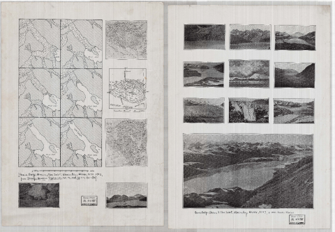
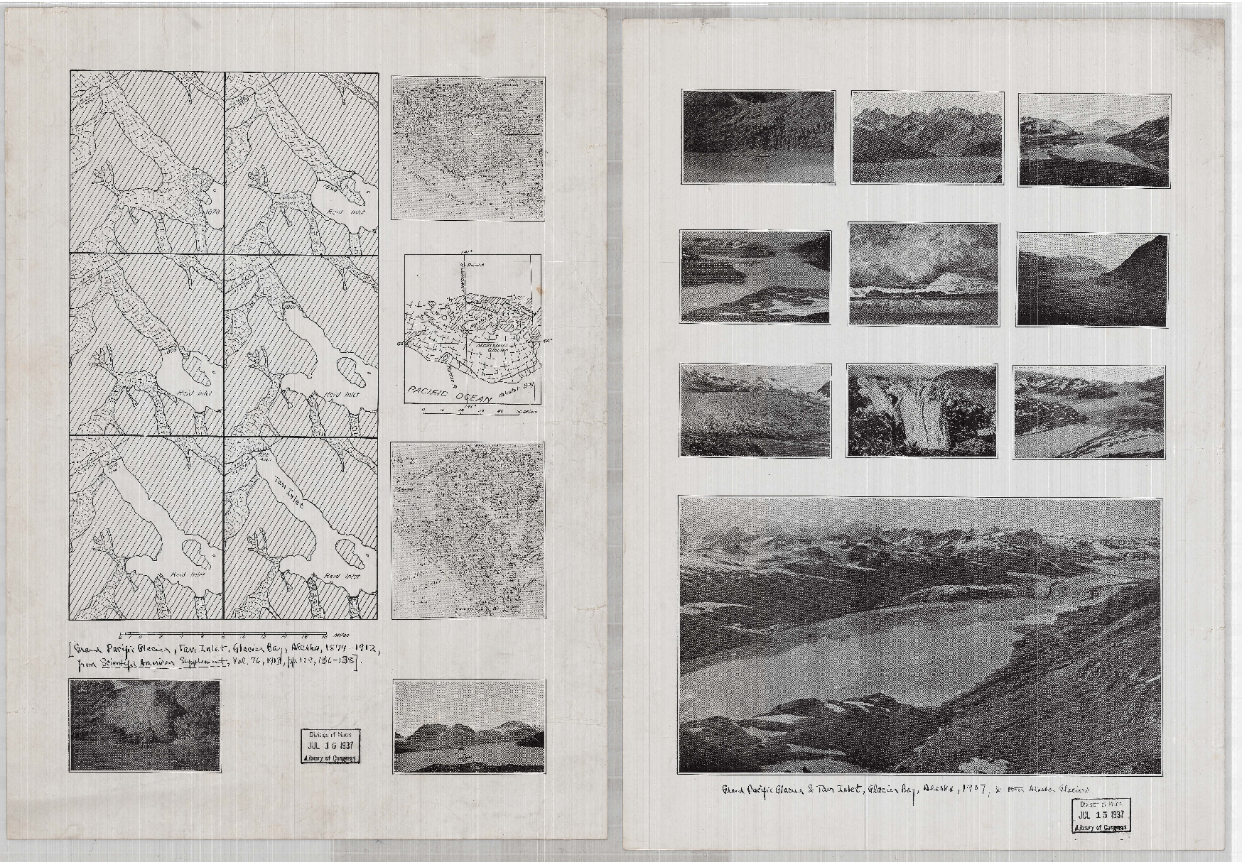
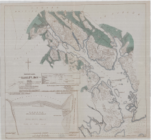
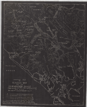
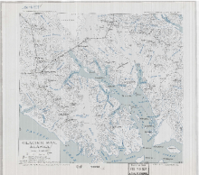
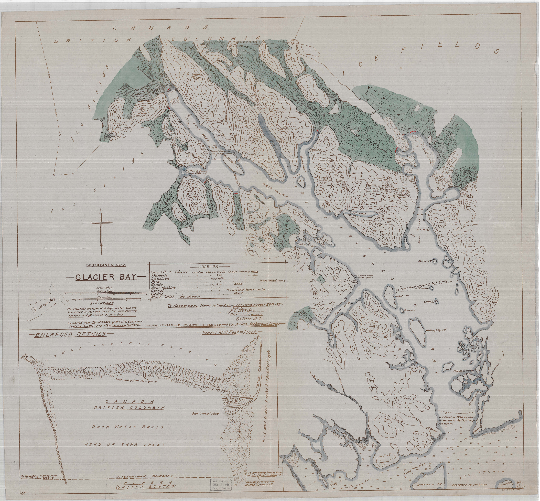
These photos and accompanying maps record the changes in the Grand Pacific Glacier between the years of 1879 and 1912. The map gives a bird’s eye view of what is shown in the photos.
Glacier Bay is the ancestral homeland of the Hoonah Tlingit people who lived there until forced out by the advancing glaciers. 18,000 years ago, was the glacial maximum of the Wisconsin Ice Age. By 14,000 years ago the ice had retreated far up into the Y-shaped fjord of what is now called Glacier Bay. Then the ice advanced again and pushed southward as far as Willoughby Island. A Medieval warming period occurred, and this allowed the Tlingit people to settle on the broad outward plain that built up in front of the single large glacier, at this time the Hoonah people called Glacier Bay, S’é Shuyee (Area at the end of the Glacial Silt). About 1600 AD to approximately 1750 AD there occurred a mini ice age which caused the glaciers to surge and plowed all of the Tlingit settlements under the ice and it was also this rapid advancement that caused great isostatic compression pushing the land down in many places by over 12 feet on average. As a result of this a lot of land was submerged under salt water. As fast as the ice had advanced it retreated and by 1879 the ice had retreated more than 40 miles back into what is now called Glacier Bay. The Hoonah people followed the retreating ice to reclaim their homeland when Glacier Bay became a national monument, and that action stopped the Hoonah people form resettling in their ancestral homeland.