Browse Digital Heritage
Search
Sort
Community
- Hoonah Community Members (831) Apply Hoonah Community Members filter
- National Museum of the American Indian (34) Apply National Museum of the American Indian filter
- Glacier Bay National Park Service (15) Apply Glacier Bay National Park Service filter
- Library of Congress (5) Apply Library of Congress filter
- Alaska State Archives (1) Apply Alaska State Archives filter
- National Anthropological Archives (1) Apply National Anthropological Archives filter
- Sealaska Heritage Institute Digital Photo Database (1) Apply Sealaska Heritage Institute Digital Photo Database filter
Collection
- Paul Rudolph Collection (83) Apply Paul Rudolph Collection filter
- Floyd and Marjorie Peterson Collection (44) Apply Floyd and Marjorie Peterson Collection filter
- Marlene Johnson Collection (38) Apply Marlene Johnson Collection filter
- National Museum of the American Indian (33) Apply National Museum of the American Indian filter
- Welsh Family Photo Collection (28) Apply Welsh Family Photo Collection filter
- Mary Peterson Collection (25) Apply Mary Peterson Collection filter
- Gordon and Chris Greenwald Collection (22) Apply Gordon and Chris Greenwald Collection filter
- Library of Congress (21) Apply Library of Congress filter
- Ruth James Collection (21) Apply Ruth James Collection filter
- Bill Wilson, Jr. Collection (18) Apply Bill Wilson, Jr. Collection filter
- Arnold Williams Collection (12) Apply Arnold Williams Collection filter
- Elsie Emery Collection (10) Apply Elsie Emery Collection filter
- Sven and Pauline Andersson Collection (9) Apply Sven and Pauline Andersson Collection filter
- Edwina White Collection (7) Apply Edwina White Collection filter
- James Mackovjak (6) Apply James Mackovjak filter
- Melvin Williams Collection (6) Apply Melvin Williams Collection filter
- Glenn Johnson Collection (2) Apply Glenn Johnson Collection filter
- James Lindoff Collection (2) Apply James Lindoff Collection filter
- City of Hoonah Collection (1) Apply City of Hoonah Collection filter
- Records of the Russian Orthodox Greek Catholic Church of America, Diocese of Alaska, 1844-1974 (1) Apply Records of the Russian Orthodox Greek Catholic Church of America, Diocese of Alaska, 1844-1974 filter
Category
- People and Places (336) Apply People and Places filter
- Fishing (160) Apply Fishing filter
- Events and Gatherings (131) Apply Events and Gatherings filter
- Art and Artists (124) Apply Art and Artists filter
- Military and Veterans (72) Apply Military and Veterans filter
- Hoonah Fire of 1944 (49) Apply Hoonah Fire of 1944 filter
- Government (21) Apply Government filter
- Alaska Native Brotherhood & Alaska Native Sisterhood (10) Apply Alaska Native Brotherhood & Alaska Native Sisterhood filter
- Church and Faith (3) Apply Church and Faith filter
Digital Heritage
Community
Hoonah Community MembersDigital Heritage
Community
Hoonah Community MembersSummary
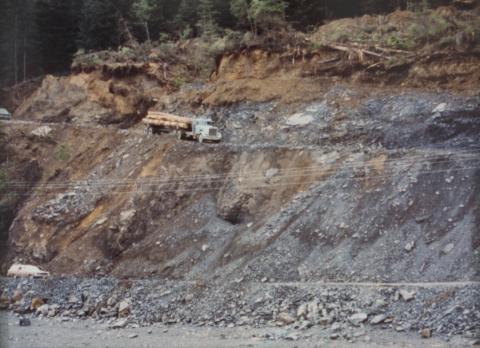
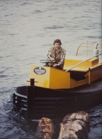
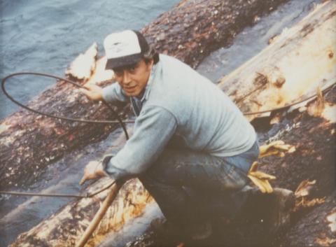
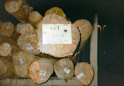
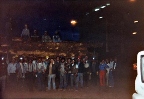
Hoonah loggers became renowned for their skill in loading logs and became requested in other locations.Digital Heritage
Community
Hoonah Community MembersSummary
In addition too logging, Leo Houston seined, trolled and long lined for halibut.Digital Heritage
5 pages
Community
Hoonah Community MembersCategory
Events and GatheringsSummary
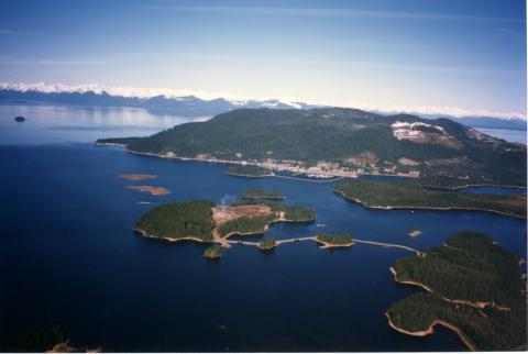
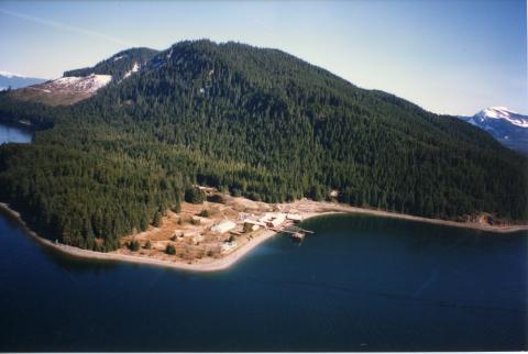
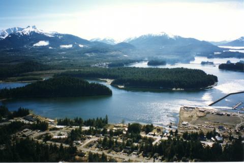
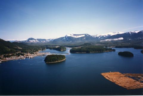
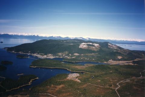
These aerial photographs show giant log rafts, Whitestone Logging camp and mountains on a clear, sunny day.Digital Heritage
Page 4 of 5
Community
Hoonah Community MembersCategory
Events and GatheringsDigital Heritage
Page 3 of 5
Community
Hoonah Community MembersCategory
Events and GatheringsDigital Heritage
Page 2 of 5
Community
Hoonah Community MembersCategory
Events and GatheringsDigital Heritage
Page 5 of 5
Community
Hoonah Community MembersCategory
Events and Gatherings