Map of Alaska Southeastern and British Columbia Boundaries 1903
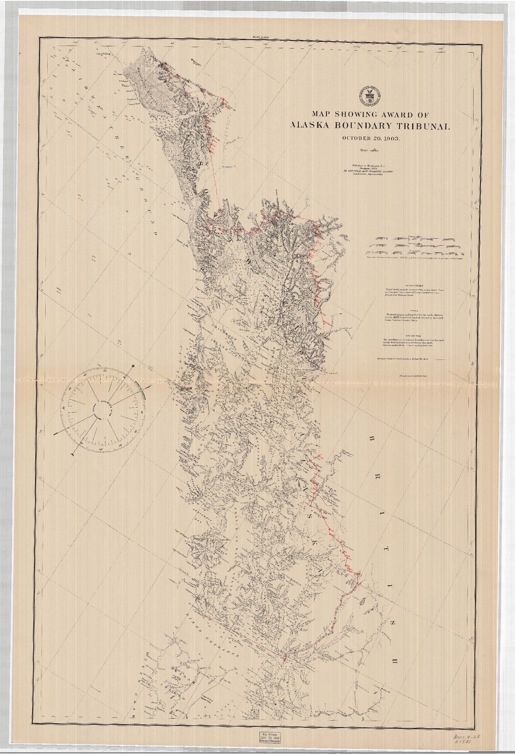
The United States inherited the boundary dispute when Alaska was purchased in 1867 from Russia. The argument simmered over time but was finally brought to the attention of most by the Klondike Gold Rush. America claimed that the land they had purchased was based on a Russian map from an earlier period, while the Canadians thought it should be based on other criteria.
At this time Canada was ruled by Great Britain and did not have the authority to negotiate international boundary disputes, because of this an international tribunal arbitrated the matter. Canada was not happy about the outcome feeling that Great Britain sided with the Americans because of the politics of the day. In the end the decision was made based on world events where Great Britain was counting on the US to side with them for geopolitical reasons. Canada felt betrayed and this only fueled the argument about Canada becoming independent from Great Britain.
The US retained the land shown on the Russian Admiralty map of 1827 that they had based their argument on, while Canada lost a significant amount of land in the final decision and lost a direct route from the Klondike to a saltwater port, not to mention a loss of major salmon fishing grounds, timber rights and mining rights.